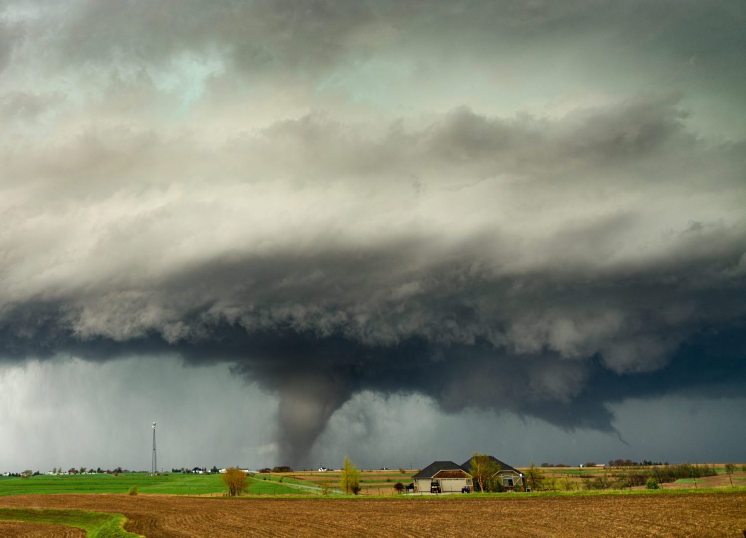
Post-Tropical Storm Arthur’s rainbands spawn tornadoes across southeast Louisiana
The predawn hours in New Orleans looked nothing like a typical Thursday morning. A line of severe thunderstorms, the remnants of Post-Tropical Storm Arthur, pushed through southeast Louisiana before sunrise, leaving emergency managers scrambling and residents jolted awake by sirens and phone alerts.
The National Weather Service issued multiple tornado warnings across the New Orleans metro area and Northshore parishes beginning around 1 a.m., with dozens stacking up through the early morning hours. By 5:30 a.m., active warnings covered west-central Orleans Parish, northwestern Jefferson Parish, east-central St. Charles Parish and central St. Tammany Parish.
Where the storms are hitting hardest
A tornado-capable storm was tracked over Waggaman, near Avondale, at 5:32 a.m., moving northeast at roughly 25 mph. Communities in its path included New Orleans, Metairie, Jefferson, Harahan, River Ridge, Elmwood, Bridge City and Avondale. A second rotating storm, tracked just minutes earlier, was moving northeast at 35 mph and putting Avondale, Harahan, Waggaman and River Ridge directly in its path.
In St. Tammany Parish, a separate tornado warning was in effect until 5:45 a.m. for areas near Abita Springs, about eight miles east of Mandeville. That warning covered largely rural portions of central St. Tammany. All of the storms showed signs of rotation on radar, according to the National Weather Service.
A tornado watch has been issued for parts of Louisiana and Mississippi until 6 AM CDT pic.twitter.com/7TMMX9AzjX
— NWS New Orleans (@NWSNewOrleans) June 18, 2026
The impact of Post-Tropical Storm Arthur
Arthur may have shed its tropical designation by the time it crossed into Louisiana, but its impact proved severe. Its rainbands dumped more than seven inches of rain per hour in some areas, particularly across the Bayou and River Parishes. That volume of rainfall doesn’t just flood roads and homes. It also makes spotting a tornado nearly impossible, especially in the darkness before dawn.
Because of that combination, forecasters urged residents not to rely on sight alone when deciding whether to seek shelter.
The 13 parishes under a tornado watch
A broader tornado watch remained in effect until 6 a.m. for a wide stretch of southeast Louisiana. The 13 parishes covered were:
- Jefferson
- Orleans
- St. Charles
- St. John the Baptist
- St. James
- St. Tammany
- Tangipahoa
- Livingston
- Ascension
- Terrebonne
- Lafourche
- Plaquemines
- St. Bernard
That covers a significant portion of the state’s most populated corridor along the Gulf Coast.
What residents in warned areas should do
Anyone inside a tornado-warned area was urged to move immediately to an interior room on the lowest floor of a sturdy building, far from any windows. Staying in a vehicle during a tornado warning carries serious risk, as does remaining near glass.
Residents were also encouraged to use multiple ways to receive weather alerts, including downloading local weather apps and monitoring live broadcasts. Even after the tornado warnings expire, localized flash flooding is expected to remain a concern through the morning.
SOURCE: WWLTV.com