A shift in the Pacific Ocean is starting to reshape the outlook for the months ahead. The latest forecast from federal weather agencies confirms that El Niño has officially developed, and researchers now expect the pattern to strengthen through the fall and into next winter, carrying the kind of global reach that touches everything from storm tracks to crop yields. The shift comes after months of watching ocean temperatures inch upward, and it now sets the stage for a season that could look noticeably different from the one before it.
What the forecast actually shows
Ocean temperatures in the tropical Pacific have climbed steadily since spring, moving well past the threshold needed to confirm an El Niño episode. The latest forecast puts the odds at roughly 63 percent that sea surface temperatures will exceed 2 degrees Celsius above average in the key monitoring zone, a level that would classify the event as very strong. Climate scientists tracking the pattern say confidence has grown in recent weeks, with the forecast now pointing toward at least a moderate event and a real possibility of something stronger.
Every episode carries its own signature, but the current forecast lines up with patterns seen in past strong years, when Pacific warming reshaped weather across multiple continents at once.
How the pattern tends to reshape the weather
Forecasters expect a familiar set of shifts once the pattern locks in more fully. A few of the most consistent impacts include
- Wetter conditions across the southern half of the country and drier weather stretching from the northern Rockies through the Ohio and Tennessee valleys
- A milder, warmer winter across northern regions as storm tracks shift south
- A quieter hurricane season in the Atlantic, paired with a more active stretch in the central and eastern Pacific
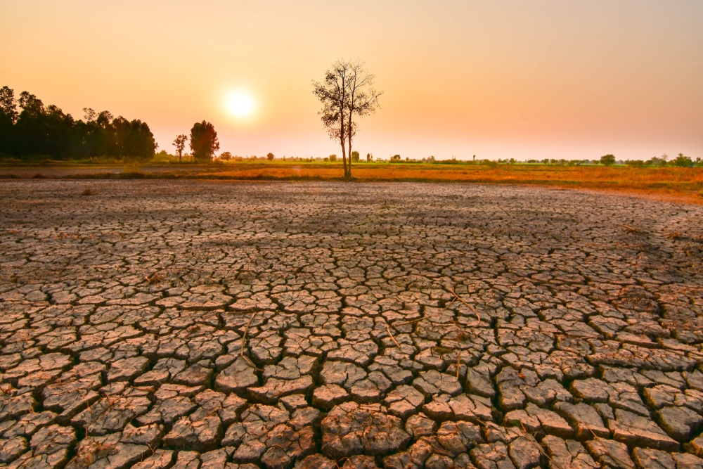
- Elevated risk of drought in parts of Australia, Indonesia and southern Asia, alongside heavier rainfall in sections of South America and the Horn of Africa
The forecast also points to above normal land temperatures across nearly the entire globe this season, a signal that has already shown up in recent heat records and is expected to intensify as the pattern strengthens further.
Why researchers are paying closer attention this time
Beyond the immediate weather shifts, the forecast is drawing attention because of the conditions it arrives into. Food systems in several regions remain fragile, energy markets are already stretched thin, and public finances in many countries have little room to absorb a shock. Researchers studying past El Niño events point to the late 1870s episode, one of the strongest ever recorded, which triggered droughts across multiple continents at once and contributed to widespread famine. Nobody expects a repeat on that scale, but the comparison illustrates why agencies are treating the current forecast as more than a routine seasonal update.
Agricultural groups, insurers and disaster relief organizations are already adjusting plans based on the forecast, since the pattern historically shifts risk unevenly across regions rather than spreading it out. Some areas face a higher chance of flooding, while others brace for extended dry stretches that can strain water supplies and stress crops during the growing season.
What comes next
The forecast will likely sharpen over the coming months as more data comes in, since the transition period between spring and summer has historically made long range predictions less reliable. Scientists expect that uncertainty to fade by late summer, when the pattern typically becomes easier to read and impacts start showing up more clearly in regional outlooks.
For now, the forecast offers a rough map rather than a precise one. It signals that the back half of the year is likely to bring more volatile weather than usual in several parts of the world, even as the exact timing and intensity of specific impacts remain to be seen. Anyone in a region prone to drought, flooding or shifting storm patterns may want to keep an eye on updates as the picture becomes clearer heading into the fall.