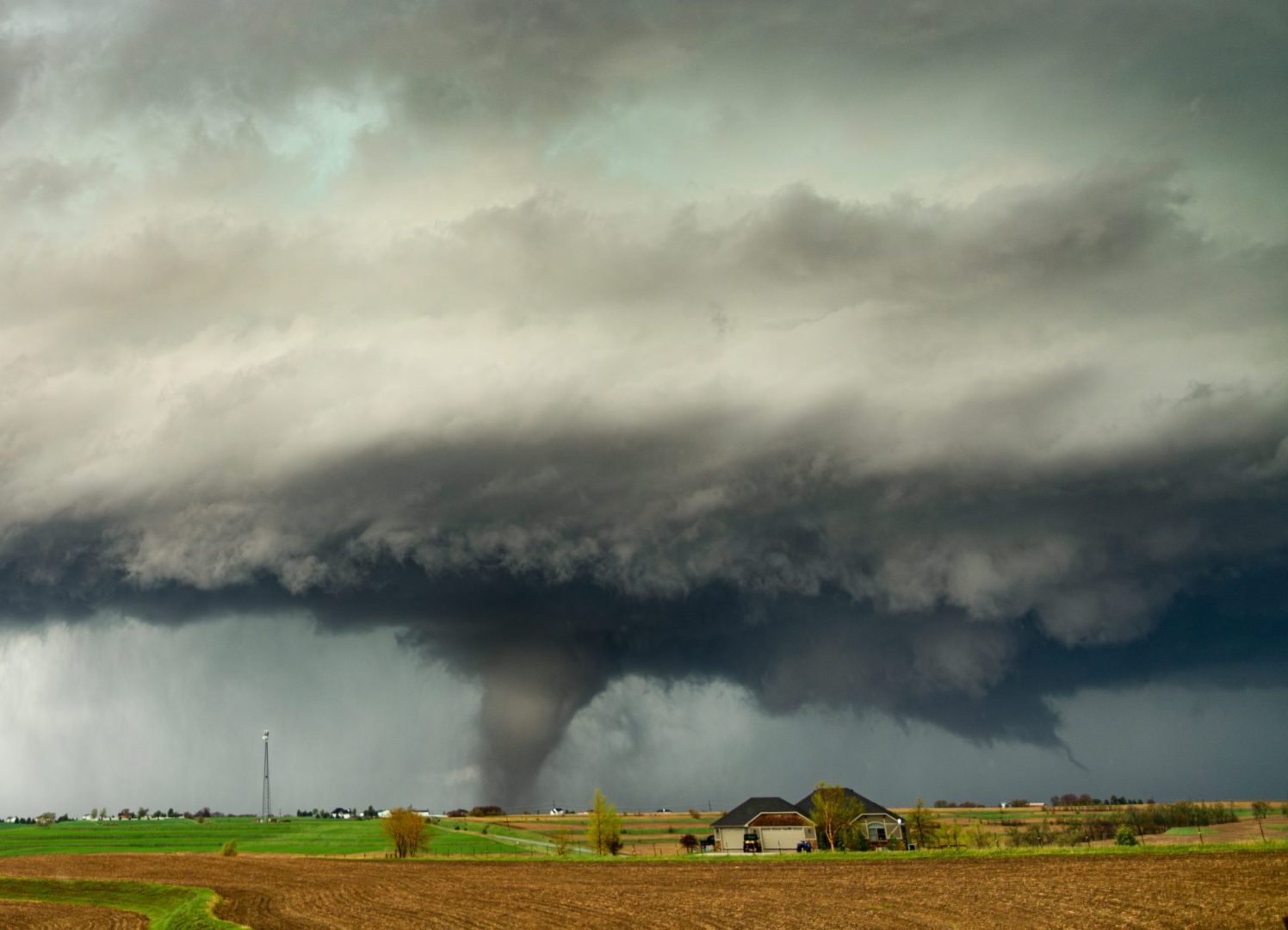
After a remarkably quiet beginning to May, the central United States is entering a period of significant atmospheric instability. A volatile stretch of severe thunderstorms is expected to unfold across the Plains and Midwest through Tuesday, bringing with it two distinct weather threats that will test the resilience of residents across multiple states.
Threat one centers on the tornado risk, which meteorologists characterize as substantial for both Sunday and Monday. The storm system carries the potential to produce intense tornadoes rated EF3 or stronger, alongside destructive hail, damaging winds and heavy rain. This represents a dramatic shift from May’s unusually calm opening weeks, when a jet stream pattern successfully suppressed the severe weather that typically defines spring in this region.
Sunday’s afternoon and evening outbreak
The severe weather timeline begins Sunday afternoon as storms rapidly develop across Nebraska and southeastern South Dakota. These initial storms will be capable of producing very large hail that could damage property and vehicles. The most concerning period arrives as evening approaches, with the highest tornado threat materializing between 4 p.m. and 10 p.m. Central Time.
The area from eastern Nebraska through southeastern South Dakota and into western Iowa faces the greatest risk during this window. Major population centers including Omaha, Lincoln and Sioux City fall within the affected region. The National Weather Service issued a tornado watch for parts of the area Sunday afternoon, alerting residents to remain vigilant and have safety plans in place.
Monday brings the most significant outbreak
Monday represents the most dangerous day of the sequence. A widespread outbreak of severe thunderstorms is possible as the most energetic portion of the jet stream interacts with abundant atmospheric moisture accumulating across the Plains. Supercells that develop in the afternoon will likely spin up tornadoes, with some reaching EF2 strength or potentially stronger. Very large hail will accompany these storms.
The zone of highest tornado threat stretches from central and eastern Kansas into southeastern Nebraska and northwestern Missouri. Meteorologists caution that lingering cloud cover and storms from Sunday night could influence Monday afternoon conditions. Areas where Sunday evening storms persist into Monday morning will have less atmospheric energy available for the afternoon and evening severe weather, potentially shifting the precise location of the most dangerous storms.
As evening progresses Monday, damaging widespread winds will become the primary threat, though isolated tornadoes may continue into overnight hours.
Tuesday’s transition and threat two
By Tuesday, ongoing thunderstorms are expected from northern Texas through Michigan during morning hours. The severe weather threat ramps up again during the afternoon as a cold front becomes the dominant trigger for storm development. However, the tornado risk diminishes considerably, with wind and hail emerging as the primary threats.
This same system creating dangerous conditions across the central and northern plains generates threat two: critical wildfire conditions across the Southwest. A level 3 of 3 extremely critical fire threat exists Sunday and Monday across the Southern High Plains. The area from southwestern Kansas through the Texas Panhandle and into northeastern New Mexico faces the highest risk.
Sustained winds between 25 and 30 mph, with gusts potentially reaching 50 mph, will combine with relative humidity levels below 10 percent and extremely dry fuels. These conditions create an environment where any fires that ignite will spread at life-threatening speeds, according to the National Weather Service. A level 2 critical threat extends across much of New Mexico and surrounding afreas.
Source: CNN Weather