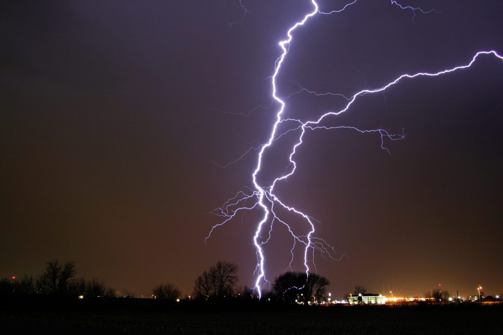
The National Weather Service issued severe thunderstorm warnings covering eastern idaho
A strong cold front moved through eastern Idaho this afternoon, bringing a sharp end to several days of record-breaking temperatures and triggering a wave of severe weather alerts from the National Weather Service in Pocatello.
The agency issued severe thunderstorm warnings for portions of Bannock, Bingham, Bonneville, Jefferson, Madison and Fremont counties, with wind gusts expected to reach up to 70 mph in the affected areas.
A broader severe thunderstorm watch was also placed in effect for eastern Idaho, northern Utah and western Wyoming, with forecasters warning of frequent lightning, wind gusts up to 75 mph and hail up to the size of a quarter. The watch was set to remain active until 8 p.m. Mountain time.
What the watch covers
The severe thunderstorm watch covers a wide stretch of southeastern Idaho, including Bannock, Bear Lake, Bingham, Blaine, Bonneville, Butte, Caribou, Cassia, Clark, Franklin, Fremont, Jefferson, Lincoln, Madison, Minidoka, Oneida, Power and Teton counties, along with adjacent portions of northern Utah and western Wyoming.
A thunderstorm watch differs from a warning in that it signals conditions are favorable for severe weather to develop, rather than confirming it is already occurring. Residents in watch areas are advised to monitor conditions and be prepared to take shelter quickly if a warning is issued for their location.
What to expect
The primary threats with this system are damaging wind gusts and large hail. Gusts in warned areas could reach 70 to 75 mph, which is strong enough to down trees, damage structures and create hazardous driving conditions. Hail up to quarter size, roughly one inch in diameter, can damage vehicles and outdoor property.
Frequent lightning is also expected throughout the affected region as the front passes. Residents are encouraged to stay indoors during active thunderstorm activity and move away from windows.
The National Weather Service updates watches and warnings continuously as conditions evolve. Current information is available at weather.gov.